This is a lab-based certificate course, especially designed for Academicians and Scholars. It consists of lectures, discussions, assignments and lab work.
Syllabus
Paper: Remote Sensing, GIS and GPS
Unit 1: Fundamentals & Physics of Remote Sensing
- Introduction, Development, Advantages and Limitations, Applications
- Concept of EMR: Concept of energy, Properties of EMR & Wavelength, Atmospheric window, EMR Atmospheric interaction, Spectral Signature: Interaction with earth surface
- Sensor types, Platforms, Resolution: Introduction and different types of Platform (Ground, Airborne and Spaceborn), Sensor (imagine & non-imagine; Active & Passive; Whiskbroom & Push broom), Satellite (Polar Orbital & Geostationary) and Resolution (Spatial, Spectral, Radiometric, Temporal
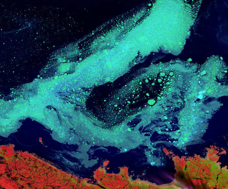
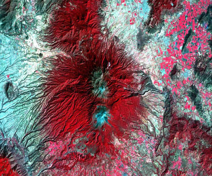
- Digital Image Processing: Concept, Image Processing & Pre Processing, Image Enhancement (Geometric & Radiometric), Image Classification (Supervised & Unsupervised), Visual Image interpretation techniques, Digital Image interpretation techniques
- Photogrammetry: Introduction of Aerial photographs & Basics of Photogrammetry, Geometry of Aerial Photographs, Types of Photogrammetry
Unit 2: Fundamentals of Geographic Information System (GIS)
- Introduction, Components, Area of GIS applications, Advantage and Limitation of GIS, Analog vs. Digital data
- Hardware & Software Requirements
Hardware: Processor, Memory, Secondary Storage Devices, Input/output Devices, And Binary Numbers
Software: Operating System, Application, Compliers, Editor, Overview of GIS Software Packages
- Spatial Data Science: Spatial & Non-spatial Data, Data classification, Data Model types, Data Source & data capture, Attribute and special query, Logical operators, Arithmetic operators, Overlay operations
- Non-spatial data: Concept of Database Management System, Topological functions, Representation of TIN & DEM
Unit 3: Fundamentals of Global Positioning System (GPS)
- Introduction & Components of GPS, Functions of GPS & GPS Accuracy, Methods of Data Collection through GPS
- GPS surveying methods and accuracy: Static & Rapid static, Kinematic –Real time kinematic survey, Pseudo kinematic survey Factors affecting GPS accuracy, GPS application in surveying and mapping
Practical Paper: Remote Sensing, GIS
Lab Works
Unit 1: Fundamentals of Remote Sensing
- Identification of different features using TM, FCC & Thermal Imagery, Interpretation of Satellite Imagery in Different Bands, Image Classification: Supervised & Unsupervised, Study of Histograms, Image enhancement: Linear and Non- Linear Contrast Enhancement, Band Rationing, Edge Enhancement, Noise Reduction, Haze Reduction, Contrast enhancement & filtering; Principal component analysis, Preparation of Slope, Aspects, Flight plane and nadir point equation etc.
Unit 2: Fundamentals of Geographic Information System
- Georeferencing, Projection and transformation, Representation of Co-ordinate, Representation of Raster & Vector data, Digital Database creation, Working with Layers in GIS sofwares (Building Templates, Classification, Displaying Qualitative and quantitative Values, Labelling Features and Map Creation) Representation of TIN & DEM, Spatial database creation, Import and Export of data, Attribute and data query in vector layers, Use of SQL, Logical operators, Arithmetic operators, Overlay operations