The course encompasses two sections: both theoretical and practical portions. The first one is basically concerned with the conceptual understandings and the lab work involves data pick-up and handling of proper application in a raw platform.
Syllabus
Theory:
Paper I : Fundamentals of Remote Sensing and Photogrammetry
Unit 1: Introduction & Physics of Remote Sensing
- Concept: Definition, History of development, Process and elements of Remote Sensing, Advantages and limitations
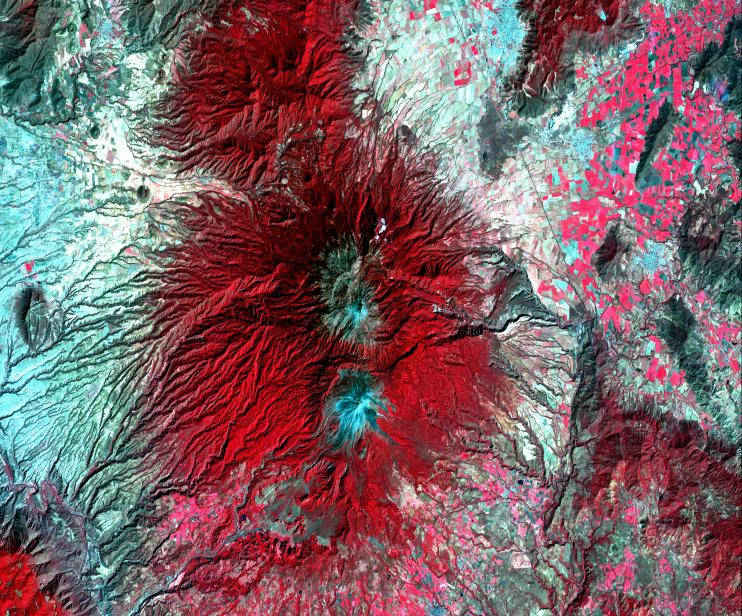
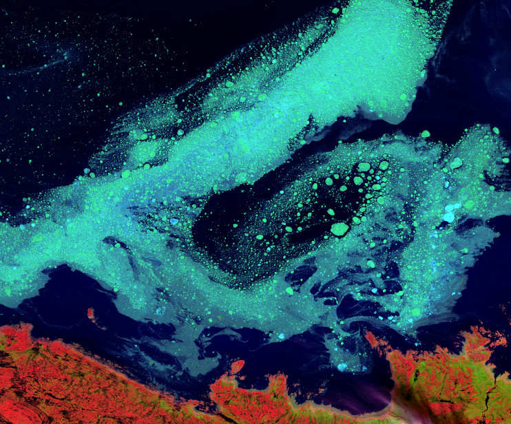
- Concept of EMR: Wavelength, Frequency & Energy relation of EMR, EMR Spectrum, Wavelength region wise application, Atmospheric window, EMR interaction with atmosphere and earth surface, Fundamentals theories and Law of EMR (Radiation laws, Stefan Boltzman law, Wien’s law, Kirchoff’s law, Concept of Blackbody)
- Platforms, Sensors, Satellite & Resolution: Introduction and different types of Platform (Ground, Airborne and Spaceborn), Sensor (imagine & non-imagine; Active & Passive; Whiskbroom & Push broom), Satellite (Polar Orbital & Geostationary) and Resolution (Spatial, Spectral, Radiometric, Temporal)
- Spectral signatures: Signature of soil, vegetation and water
Unit 2: Introduction to Photogrammetry
- Aerial Photography: Concept, History of development, Advantages and limitations, Types, Difference between maps and Aerial photography, Controlling parameters, types of camera, Displacement (Image displacement, Relief displacement, Radial displacement)
- Geometry of Aerial Photograph: Determination of scale (Small and Large scale), Determination of height on aerial photograph, Stereoscopic Vision, Photographic overlay, Height determination from Stereo pair
- Co-ordinate system: Relief distortion and Tilt distortion, , Digital Elevation, Model
- Principal of digital Photogrammetry: Hardware & Software requirement, Image measurement, Digital Terrain Model (DTM)
Paper II : Fundamentals of GIS, GPS and SDSS
Unit 1: Introduction to GIS
- Basic Concept: Definition, History, Components of GIS, GIS application, Advantages and limitations, GIS software packages
- GIS Data: Spatial and Non spatial data, Data structure – Raster & Vector data structure, Vector data: Representation of geographic data in vector, Arc, Nodes, Vertices and topology, Data file
- GIS database: Database creation & design, Database management, Introduction to DBMS & RDBMS, SQL operations, Manipulating dataset using SQL statement, Logical operator: AND, OR, NOT, XOR, using BETWEEN, LIKE conditions
- GIS data input: Nature of data, Methods of spatial data capture (Digitization and Scanning method), Rectification, Error identification, Reprojection, Transformation and Generalization
- SDSS: Concept, Characteristics, applications
- Multi-criteria decision Analysis (MCDA): Elements, Structure of MCDA
- Concept of Weighting
- Surface modeling: Role of interpolation, Methods of interpolation, Inverse Distance Interpolation, Interpolation by Kriging
- Organization of Data: Frequency, Class intervals, Histogram and distribution, Presentation of data – Tables, Diagrams
Unit 2: Introduction to GPS
- Basic Concept: Definition, Development, Components of GPS, Types, GPS application, Advantages and limitations, Satellite constellation, GPS signals and data, NAVSTAR, GLONASS, IRNSS
- GPS surveying methods and accuracy: Static & Rapid static, Kinematic –Real time kinematic survey, Pseudo kinematic survey Factors affecting GPS accuracy, GPS application in surveying and mapping
Unit 1: Introduction to Cartography & Digital Cartography
- Digital Cartography: Concept, Advantages and limitations
- Map Scale: Definition, Projection system, Categories of maps & map scales
- Measurement of geographical variables: Nominal, Ordinal, Interval and Ratio scale Qualitative & Quantitative data
- Digital Mapping: Design issues, Concept of visual variables, Map lattering, Map compilation, Generalization, Map composition, Multivariate and dynamic mapping, map production
- Visualization of geospatial data – 2D & 3D Visualization
Unit 2: Application of Geoinformatics in Earth Science
- Geography as a discipline, Nature and scope
- The Earth System: Concepts & Elements of Earth System, Structural Feature of the Earth
- Concept of Geomorphology: Fundamental of Geomorphology, Geomorphic agent and process, Drainage system & its pattern, Classification of Landforms : Fluvial, Aeolian, Glacial and Marine, Rock types, Rock structure (Folds, Faults and Lineament)
- Applications of Remote sensing in Geographical & Geological (Lithological and structural mapping), Multivariate data modeling application in Geosciences application
Paper IV : Digital image processing technique
Unit 1: Introduction to Digital image processing technique
- Introduction: Concept, Source of data, Data format, Hardware and software requirement in digital image processing, Data loading
- Image processing: Sources of errors, Image rectification, Resampling techniques, Radiometric correction, Geometric correction, Contrast stretching – Linear and Non Linear
- Spatial texture manipulation: Spatial filtering, Edge enhancement techniques and Fourier analysis
- Multi Image manipulation: Band rationing and differencing, Principal Component Analysis, Image Fusion, Band Correlation, Statistical evaluation of image Quality Parameters
Unit 2: Information Extraction from satellite imageries
- Elements of Image Interpretation & Interpretation Keys: Visual & Digital Image Interpretation
- Ground truthing, Spectral signature, Interpretation of target properties, Spatial pattern recognition, Spectral pattern recognition, Parametric and Non parametric classifier, Advantages and disadvantages of different classifies
- Classifier Techniques: Unsupervised (Isodata, K - mean) and Supervised classification (Minimum distance to mean, Parallelepiped, Maximum Likelihood)
- Accuracy assessment: Reference data, sampling techniques, Error matrix, Kappa statistics
- Change detection analysis
Paper V : Project work
This project work will be a mini GIS & Remote sensing based mini project work. The main aim of this project work is to enhance the capability of the students in the platform of GIS and Remote Sensing. Each of the learners can precede their work on individual basis or team work (maximum2). The work continues with identification of the issues, previous literature work, collection of manifold data (primary and secondary), laboratory investigations, analysis and results achieved etc., under the supervision of their specific guidance. As the work arrives in the last stage the learners are required to submit one copy to the institution in the form of full pledged Project report. On precisely completion of the project, each learner required to portray his/her the sis through power point presentation in front of an expert, faculty and other learners. This presentation will be followed by Viva-voce.
Practical Paper (Lab Work)
Unit 1: : Fundamentals of Remote Sensing and Photogrammetry
- Geo-referencing of Toposheets & Imagery
- File export import, Conversion of file formats
- Image registration / Geo coding, Projection, Creating Region of Interest
- File sub setting / clipping Mosaic Air photo and Images
- Feature identification and signature curve generation, Image Statistics & Histogram
- Identification of different features using TM, FCC & Thermal Imagery
- Interpretation of Satellite Imagery in Different Bands
- Scale measurement of aerial photographs, Distance and area measurement of themes
- Aerial-photo Interpretation for Terrain Evaluation and thematic mapping
- Stereo plotting with photogrammetric Instruments
Unit 2: : Fundamentals of GIS and GPS
- Digital database creation: Point, Line, Polygon
- Conversion of Raster, Vector and Others
- Managing Geo-database, geometric measurements tools & Changing Projection
- Managing attribute table and thematic mapping
- Map composition and representation
- Relational Database Query
- Logical operator: AND, OR, NOT, XOR, using BETWEEN, LIKE conditions
- Attribute Data Input: Creation of Schema, Tables, Data Definition
- Data Input, Data Updating, Queries on Tables, Simple-Complex Query with Two or More Tables Using SQL, Queries Using Union, Intersection
- Introduction to a GPS and initial setting
- Creating codes and attribute table for GPS receiver, Point Data collection using GPS with different datum, Line data collection using GPS and measurements, GPS data collection for area calculation
- Post processing of the GPS data, GPS and GIS integrations output preparation
- Introduction of Statistical Software: Time series, Charts, Scatter plot with regression line, Histogram, Correlation, Neighbourhood analysis
- Principal Component analysis, Spatial autocorrelation
- Interpolation techniques: IDW and Krigging through GIS softwares
- Extraction of image statistics
- Regression model
- Multi-criteria decision Analysis
Unit 3: : Fundamentals of Cartography and application of Geoinformatics in Earth Science
- Construction of different types of scales (Simple, Comparative & Diagonal)
- Construction of Map Projection (Conical, Cylindrical, Zenithal Projection)
- Designing, Symbolization, Pattern and Shading techniques
- Identification of geographical feature (Lithological, Lineament, geological, Drainage pattern)
- Surface Modelling: Analysis using DEM & TIN
Unit 4: : Digital image processing technique and information Extraction from satellite imageries
- Image Processing System: Loading of Image Data, Identification of Objects on Visual Display, Study of Histograms and Layer Information
- Image Enhancement Techniques: Linear and Non- Linear Contrast, Enhancement, Band Rationing, Edge Enhancement, High and Low Pass, Filtering
- Atmospheric Correction & Geometric correction
- Image Classification: Classification : Supervised, Unsupervised and Use of Different Algorithms, Change Detection
- Accuracy Analysis: Producer, User Accuracy, Overall and Mapping, Accuracy, Kappa Coefficient, Confusion matrix
- Presentation: Map Composition
- Editing and Topology
- Building, Area and Perimeter Estimation